Exciting post-doctoral opportunity @ ESA to do research on AI for satellite data
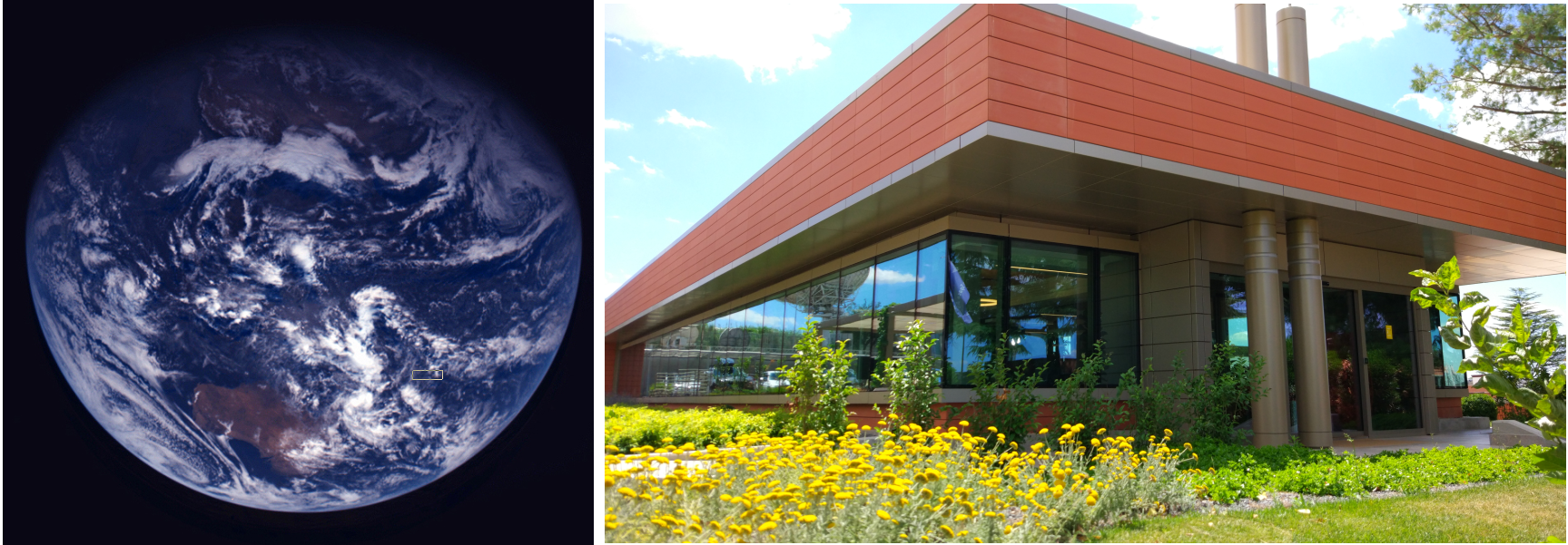
Unique Research Fellow (Post-Doc) opportunity @ ESA on the development of innovative Earth Observation (EO) solutions based on Artificial Intelligence (AI) to advance understanding of our planet . You will be based in ESA/ESRIN (Italy) and be part of a dynamic, multi-disciplinary research team at the phi-lab. You will be able to develop your AI research and associated innovative EO applications, alongside a growing team of innovators, data scientists and researchers passionate about innovation.
Apply here (Ref ID 8827) before 14th November 2019.
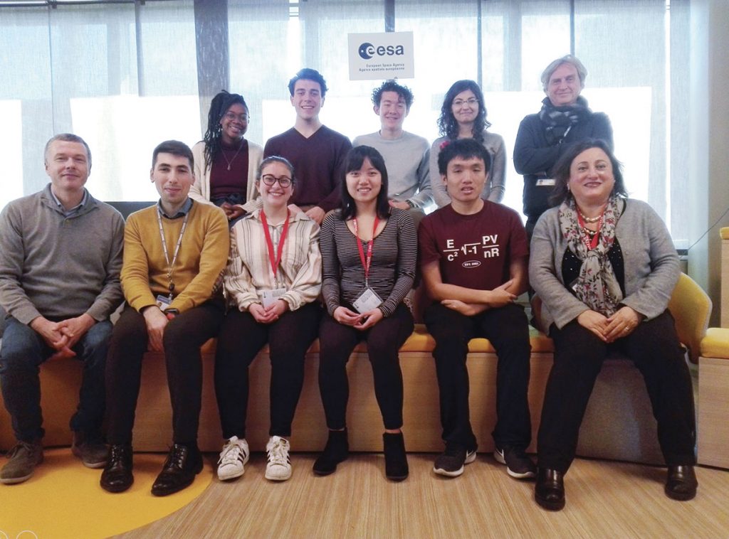
A group of students from MIT (Massachusetts Institute of Technology) of Computer Science and Economics and Engineering partnered with the Telecommunications group of the University of Sannio and the Φ-lab to work together on research cases. These students carried out specific projects on cutting-edge issues compared to the state of the art at an international level in the field of engineering, economics, law and biology. The MIT and Unisannio students collaborated on specific projects with Professors from the University of Sannio, as well as with other students, postdoctoral research fellows and PhD candidates to carry out advanced projects on remote sensing and artificial intelligence. All these projects aimed to improve human health and security, ranging from infrastructures and geohazard monitoring, to countries development measurements.
Group photo of MIT student visit to Φ-lab
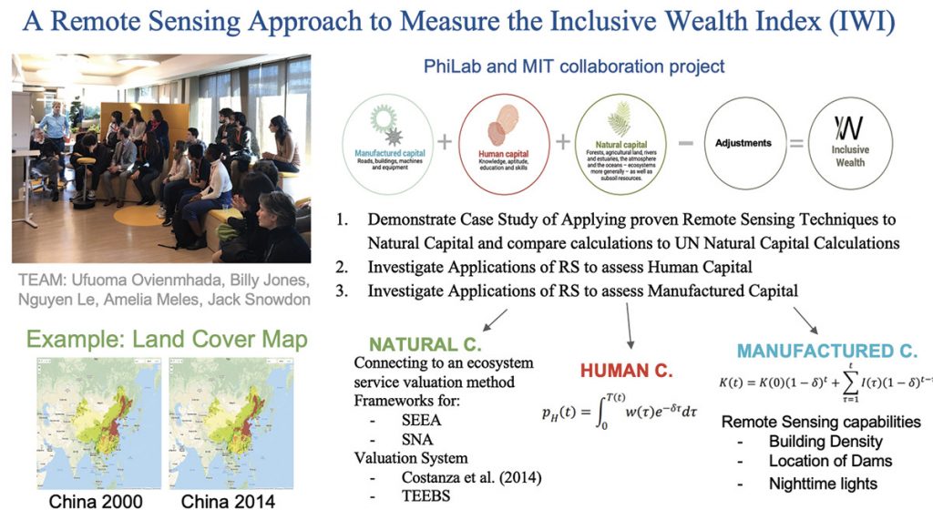
The idea behind the project was to link students of MIT and University of Sannio, through the commonality of studies that binds humanity across its borders. Three main projects were conducted over a one month period. One of the research activities was to demonstrate a case study of applying proven remote sensing techniques to Natural Capital and compare calculations to UN Natural Capital Calculations, followed by investigations on applications of remote sensing to assess Human Capital and Manufactured Capital. Another research project aimed at classifying landslides with Copernicus Sentinel-1 and Sentinel-2 data, and a third research project focused on utilising Sentinel-1 images for infrastructure monitoring.
Workflow of MIT and Φ-lab collaboration project. Credits: ESA.
Maker Faire is a worldwide innovation event, originating in 2006 in the San Francisco Bay Area as a project of the editors of Make: magazine (makezine.com). Nowadays, it is organised on a larger scale in many cities around the world, including Rome, Berlin, Paris, Tokyo, and Shenzhen.
Maker Faire combines science, science fiction, technology, entertainment and business. It caters to curious participants of all ages wishing to experience first-hand the makers’ fun and educational inventions. These inventions are the result of a desire to solve everyday problems, whether big or small. Maker Faire is not just a fair for field experts, there are inventions in the fields of science and technology (from 3D printers to wearables, through to drones, robots and digital manufacturing), and also new forms of art, entertainment, crafts, food experiments, etc.
Maker Faire Rome is organised by InnovaCamera, a Special Agency of the Rome Chamber of Commerce. It is the most important Maker Faire in Europe and the third worldwide after the “Bay Area” and “New York” ones. The Maker Faire was held in Rome for the first time in 2013. Since 2016 it has been hosted at Fiera di Roma, in order to accommodate the large number of visitors.
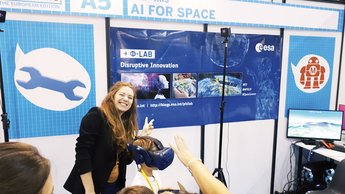
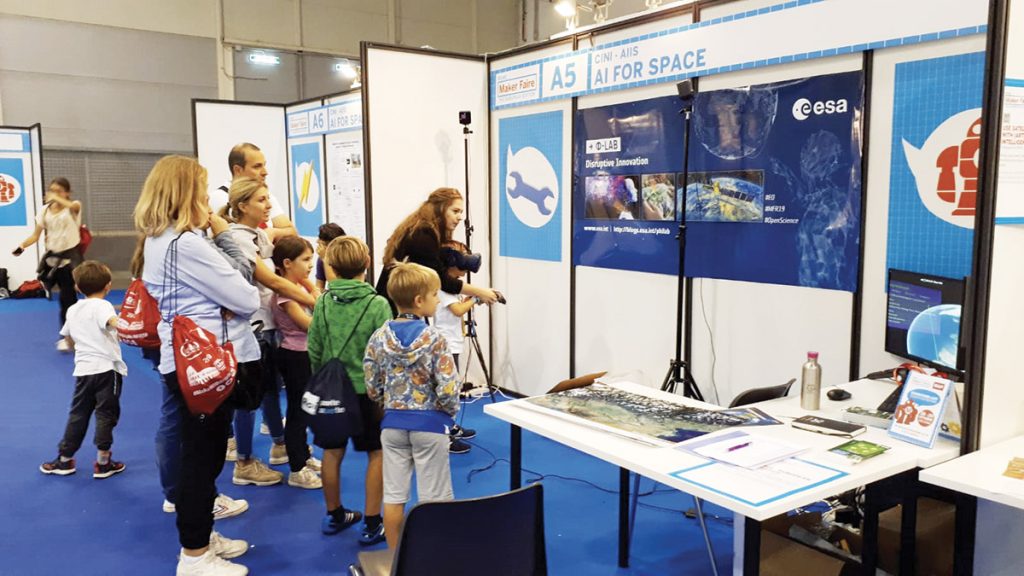
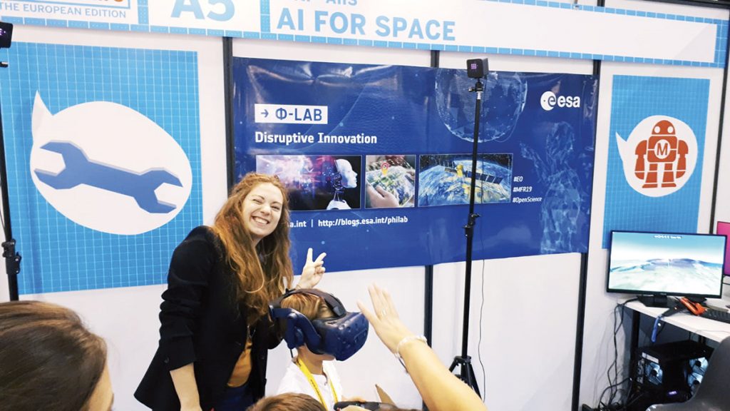
ESA stand at Maker Faire 2019 with the Φ-lab VR set. Credits: ESA.
ESA and the Φ-lab were present for the first time at Maker Faire Rome in October 2019. More than 100000 visitors attended over the three day event, with more than 27000 students present on Friday morning, which is reserved for schools. There were a total of about 800 exhibitors/stands, spread among seven pavilions of the Fiera di Roma.
The ESA and Φ-lab stand was made possible through a partnership with the La Sapienza University in Rome, as part of the CINI (an Italian inter-university Consortium for Informatics) and particularly the AIIS lab (Italian national laboratory for AI and Intelligent Systems). Interactive tools, such as the Φ-lab Virtual Reality (VR) installation helped to attract hundreds of visitors to the stand, favouring networking and the establishment of dozens of contacts. Visitors were also provided a selection of ESA promotional materials (gadgets, bags, lanyards, posters, flyers of InCubed, EO, Copernicus, ESA mobile Apps.
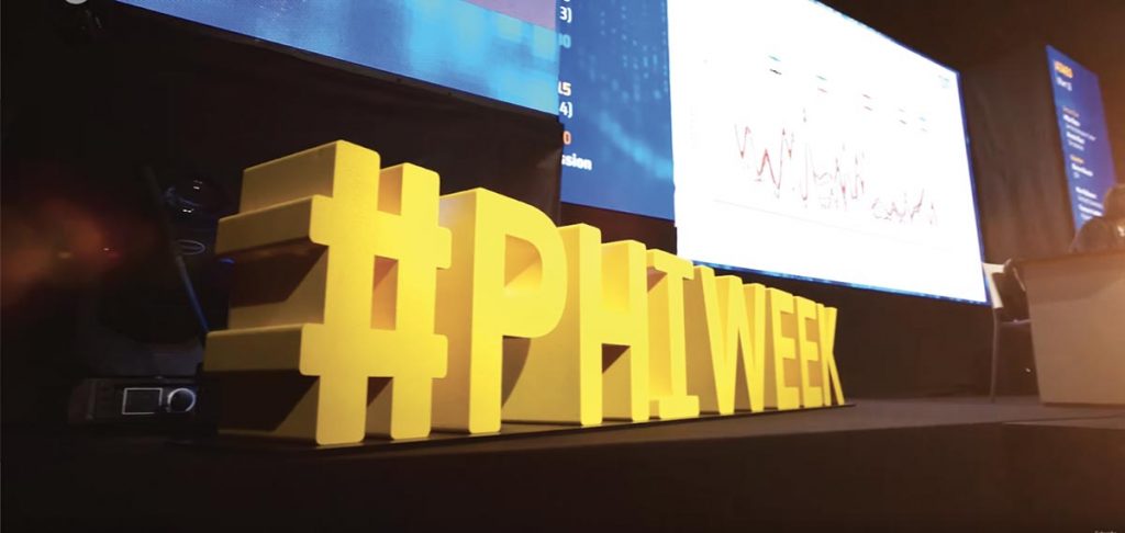
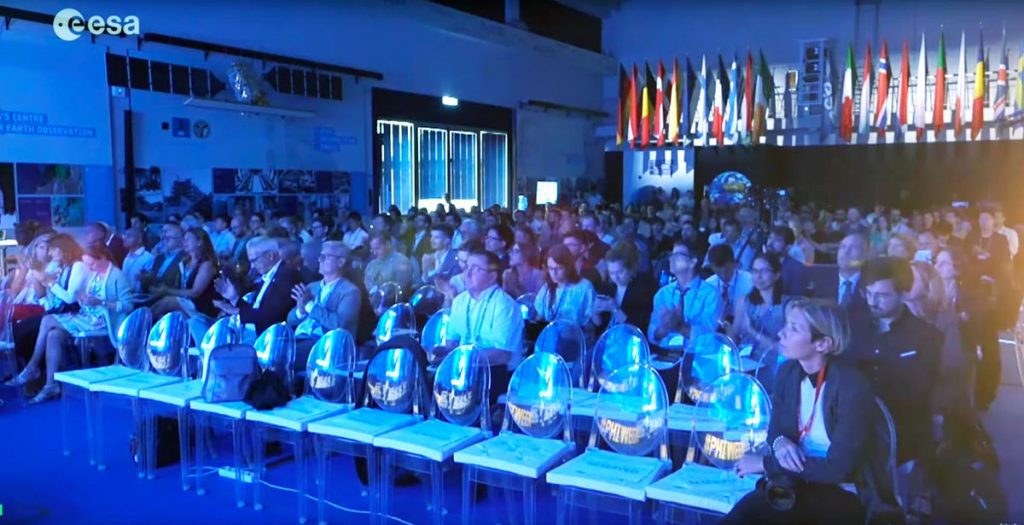
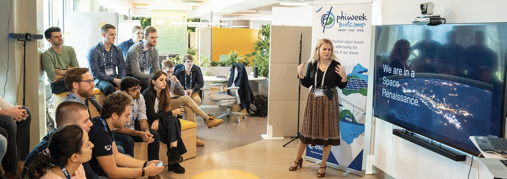
The Φ-week is an interactive conference organised by EOP-S and the Φ-lab that concentrates on topics of EO Open Science and Future EO. This week, which gathered 600 people from 38 countries, counting over 80 oral presentations, 150 posters, and over 40 exhibitors, responds to the latest developments in EO Open Science and future trends. Beyond the classical oral and poster sessions the Φ-week included a variety of side events such as workshops, round tables, hackathons and start up tables.
Φ-week 2019 explored how satellite data coupled with new digital technologies can bring benefits to business, industry and science. It provided the opportunity for emerging space investors tech leaders, entrepreneurs, space scientists and Earth observation researchers to explore new opportunities for cutting-edge technologies. Over the course of the week, researchers presented an array of projects on how satellite data can be used with AI Machine Learning and Deep Learning to improve the understanding of our planet and our daily lives.
The Φ-week gave researchers the possibility to explore new tools being developed that offer insight into Earth as an interconnected system. While scientists and researchers work to improve the observations of our planet with new technologies, entrepreneurs focus on bringing these data products to the end user. The event offered the opportunity to solidify partnerships and create new opportunities between European research groups industry and space agencies. On the sidelines of the Φ-week multiple events were held on a variety of topics from science communication to training sessions on data processing tools, artificial intelligence applied to EO thematic workshop and even a bootcamp to develop innovative solutions to solve big industry challenges using Earth Observation data.
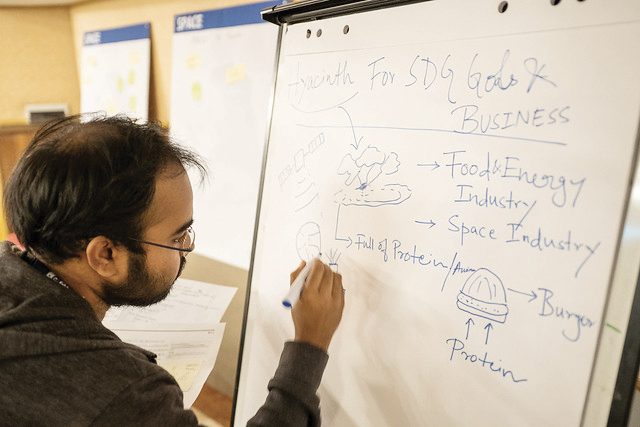
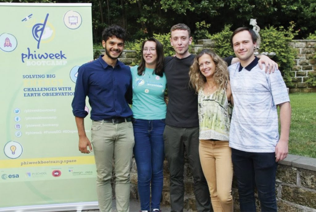
The Φ-week Bootcamp is hosted by the European Space Agency (ESA) in the framework of Φ-week. It consists of an intensive five-day design ‘sprint’ process to prototype a solution geared at solving a big industry ‘challenge’ using Earth observation data. 40 pre-selected participants from all around the world work in teams, contributing with ideas and skills to respond to a specific industry challenge. The solutions are tested with a set of users and then presented to a jury that selects the prototype with the best potential for commercialisation.
Using a workshop-style format, the event is designed to be hands-on and interactive, allowing participants to test the prototypes on real-life users before presenting them on the final day.
Φ-week Bootcamp group pictures. Credits: PI School
The sprint is a 5-day progress for answering critical business questions through design, prototyping, and testing of ideas with customers. It covers business strategy, innovation, behaviour science, design thinking and more – packed into a battle-tested process that any team can use.
In 2018 the winning team, AMIGROW, presented a concept aimed at integrating field information about crop health and management practices with satellite imagery to provide farmers with valuable insights on crop production management in order to maximise crop yield.
AMIGROW 2018 winning team. Credits: PI School
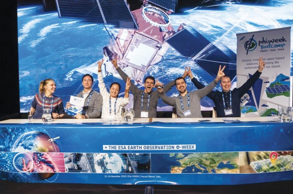
In 2019 the Φ-week Bootcamp challenge was set by the energy service producer and provider EDP, through its innovation arm, EDP Inovação (EDPI). The challenge concerned the prevention, detection and mitigation of the risks of wildfires relating to bushes and vegetation, around important energy infrastructures in Portugal. The first prize was won by the team PowerPatrol, which developed an end-to-end demonstrative platform which allows the user to visualise their entire asset network, specify an area of interest, and observe the predicted risk of vegetation-related wildfire and the recommended actions based on this risk. The team won a travel voucher to a space/startup event of their choice and a 3-month licence to Planet’s API to further develop their prototype.
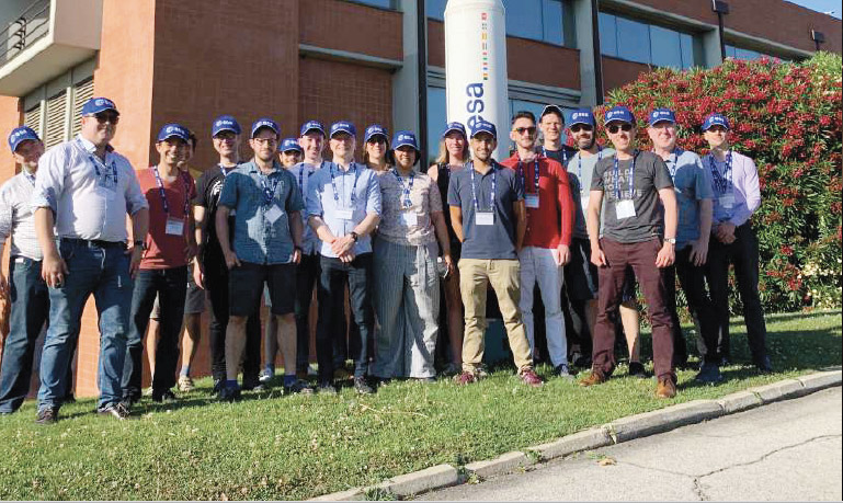
The Frontier Development Lab (FDL) is an AI accelerator scheme based on a 8-week intensive research sprint addressing global challenges of our planet with AI and data. The initiative originated with NASA a few years ago and has now been extended with ESA, to Europe. FDL is an interdisciplinary PhD-postdoctoral level research programme that applies AI technologies to science. The scope is to push the frontiers of research and develop new tools to help solve some of the biggest challenges of our planet. These range from the effects of climate change to predicting space weather, from improving disaster response, to identifying meteorites which could hold the key to the history of our universe.
FDL Europe participants in ESRIN (ESA’s Center for Earth Observation). Credits: FDL Europe
In particular, FDL Europe is demonstrating the potential of ML for both scientific progress and discovery as well as new paradigms of engineering, from putting AI onboard spacecraft, to helping identify informal settlements. The central value is that subject experts – with deep knowledge of the problem domain – can develop AI enhanced work-flows and solutions with peers from the data sciences. The challenges have been coached by EO and AI specialists.
In 2018, FDL Europe in partnership with the European Space Agency, hosted a research sprint at the University of Oxford with a kick-off at Φ-lab premises. With the support of NVIDIA and the Satellite Applications catapults, two teams of researchers tackled challenges under the mission area “Mission Control for Planet Earth”. The research sprint was a great success and the outputs showed the great potential of Mission Control for Planet Earth. One team of researchers focused on identification and of mapping informal settlements to enable governments and aid agencies to better support these communities and a second team focused on the development of an AI technique, Multi3Net, to drastically reduce the time and effort required to create effective disaster impact maps to aid disaster response.
In 2019 the challenges included on-board ML for Disaster Response (Floods) and Atmospheric Phenomena for climate variability. The Floods team produced numerous innovations in onboard ML including a whole earth-scale pre-processed and labelled training set for flood segmentation called WorldFloods. The Climate team produced a valuable data product for the climate change community. CUMULO, a legacy of this project consists of a benchmark cloud data set for training and evaluating cloud classifiers at high spatial and temporal resolution.
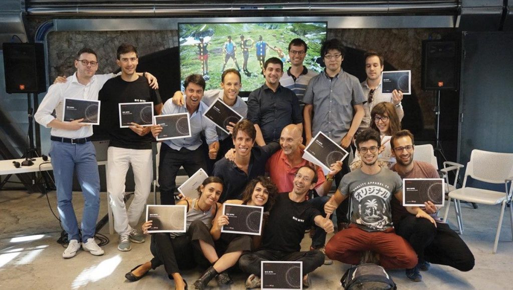
BIG DIVE is an initiative, organised by TOP-IX, ISI Foundation, AXANT offering private and public training on Data Science, Machine and Deep Learning, Data Visualisation, and Data Engineering. The BIG DIVE platform presents itself as an interactive “ street-fighting gym” which puts the raw material – in the form of high value datasets – into the hands of “ambitious smart geeks” tutored and mentored by experts in three key areas: Development, Visualization and Data Science. Courses include lectures by experts in the field and the latest resources and technologies.
Group picture of BIG DIVE participants. Credits: BIG DIVE.
In 2019, the focus for BIG DIVE 8 was space data and satellite images.
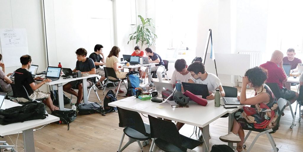
ESA as one of the main data sponsors collaborated from the beginning to decide the datasets for two of the final projects, ensure the challenges were up to date and relevant and prepare the class to tackle the real-world problems in the space sector and machine learning in general. The three-week training covered the necessary programming and data skills, the best approaches to predictive models, and lectures in the space industry by ESA, Target Detection, Starlab, and forefront research centres. The final week the students, mentored by the teachers, worked and presented four final projects on diverse fields such as urbanization, polar regions, agriculture, atomic clocks and space weather.
BIG DIVE participants working on the challenge. Credits: BIG DIVE.
One of the projects was the set up of an image recognition challenge with sea ice images a dataset of high-resolution Copernicus Sentinel-1 satellite images on a selected polar area. An ML system for the detection of ice presence and concentration was developed in order to automatically produce an ice map. The group explored the concentration of ice using the ASIP sea ice data set of 26 files in NetCDF format. From that data they extracted matrices and transformed them in order to feed the ML model. The trained a U-net model and evaluate the quality of the learning by using the Jaccard coefficient. Normally, the interpretation of the ice charts is done manually, therefore the project was an important attempt in making the process automatically and faster to allow in the future a scalable approach.
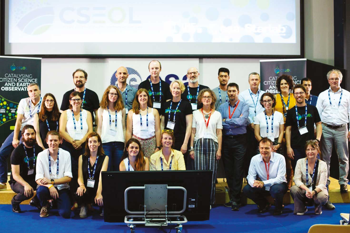
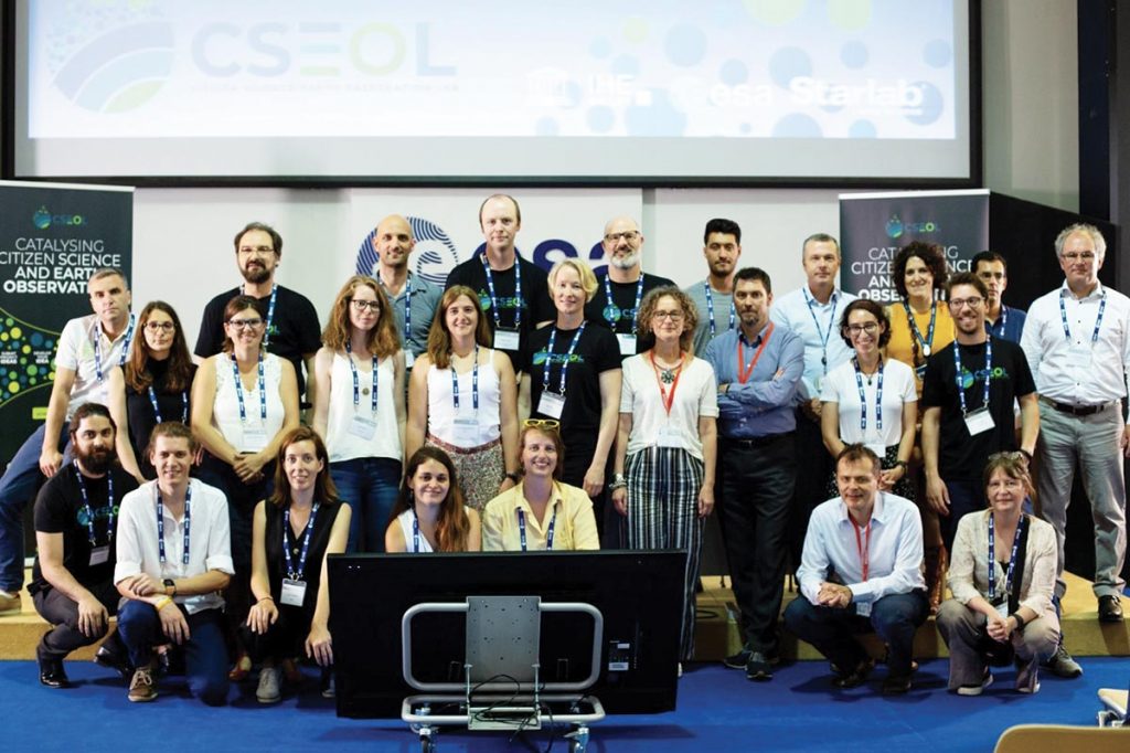
Esrin-ESA hosted the CSEOL Bootcamp and Pitch Day from 9–11 July 2019. The bootcamp, organised by the ESA-funded Citizen Science Earth Observation Lab (cseol.eu), prepared nine innovative teams from Europe and beyond on the topic of Earth Observation and Citizen Science. The overall objective of the Citizen Science Earth Observation Lab (CSEOL) project is to generate, implement and validate a methodology to continuously feed new Citizen Science projects and ideas, engaging with a wide community of users of EO data and providers of information to foster the use of EO.
Group picture of the participants of CSEOL bootcamp. Credits: CSEOL.
About 30 participants worked in teams to shape their proposed projects, guided by Citizen Science and Remote Sensing experts offering one-to-one on-demand clinics for each team in the two-days bootcamp. During the Pitch Day, the nine projects teams delivered their pitch to a high-level judging panel for competitive funding. The winning CSEOL ideas were announced in the closing ceremony of 11 July.
CSEOL’s Innovation methodology was based on three key phases – Ideation, Greenhouse and Implementation. The CSEOL bootcamp and Pitch day take place in the final part of the Greenhouse phase. Pilot projects selected and awarded during the Pitch day progress to the Implementation Phase, in which innovative ideas are developed and brought to concrete projects. The proposed projects entering the Implementation Phase to continue their experience in the CSEOL project were:
1.Phenotandem: Harmonised phenology products from optical satellite and citizen science observations. This project aims to create new phenology data combining in-situ observations and remote sensing products such as those provided by Sentinel-2. It will increase data quality for phenology at scale that has not been done before. The PhenoTandem team also participated in the Copernicus Roadshow and presented PhenoTandem in television programs in Spain.
2.IceWatchApp: A mobile phone application for sea ice observations. This project developed a data collection functionality, including attachment of photos from mobile devices, of its app for use by citizen scientists to map sea ice. These photographs will enhance satellite data from the Copernicus Sentinels and other missions where the lack of data from the Polar Regions hinders the development of automatic classification products. The IceWatch was the runner-up in the Nansen Poster Award, at the Arctic Frontiers Conference.
3.Schools and satellites (SaS): a reliable rainfall product for West Africa. This pilot project focused on the acquisition of ground and satellite data and interacted with citizen scientists on how to improve data collection as well as how to build the rain gauge from plastic bottles. It combined citizen science-based monitoring and a new satellite rainfall product which will use diverse sensors onboard Sentinel satellites. SaS also launched an initiative to collect smartphones that will be re-used by citizen scientists in Ghana.
4. Sentinel Citizen: setting foundations for atmospheric commons. The Sentinel Citizen pilot project contributes to enhancing air pollution forecasts through EO data in local communities in North Holland, with which they can influence policymakers to develop policy-oriented actions. For validation, data from the TROPOMI instrument and from the CAMS will be used. Sentinel Citizen delivered a project web page, presented the Sentinel Citizen project at different events and organised a workshop in the Netherlands.
5.MySnowMaps: Dynamic mapping of snow conditions. This pilot project displays convenient information in the form of maps of snow depth over large areas. It uses an innovative technology mixing physical models and satellite data and shares snow data for monitoring the water resources and improves the consciousness of the users. MySnowMaps has already developed the Android version of the MySnowMaps app which is now available in the Google Play Store. The team also organised a prize contest for engaging the citizen scientist community. MySnowMaps was featured on the Italian national television (RAI), a programme dedicated to innovation.
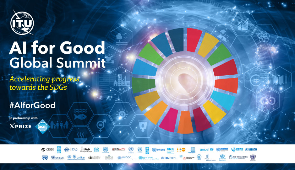
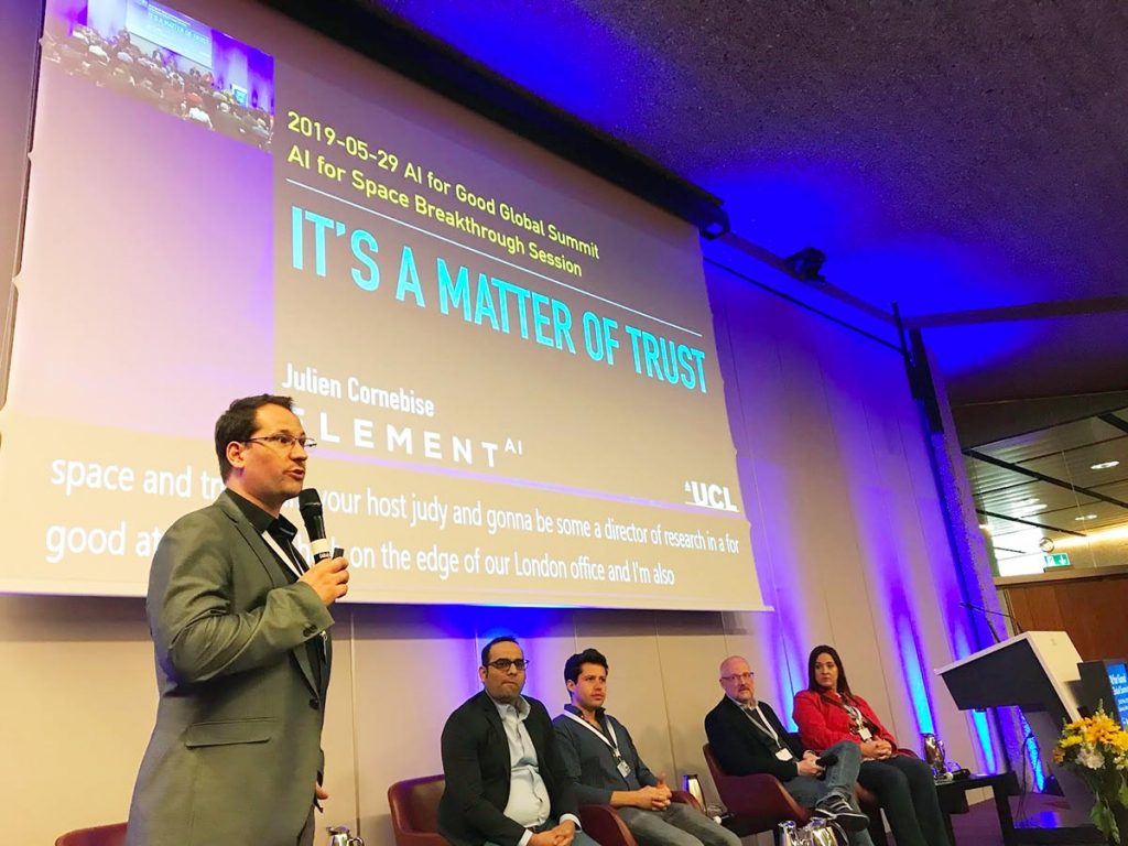
AI 4 GOOD was organised on the 28–31 May 2019, in Geneva, Switzerland by ITU (itu.int) in partnership with sister UN agencies, the X-Prize Foundation (xprize.org), and the Association for Computing Machinery (acm.org). The “AI for Space” session hosted inspiring talks from top industry professionals, focusing on areas where AI techniques can be applied to space datasets in order to accelerate progress towards the Sustainable Development Goals (SDGs). It also covered the processes, infrastructure and ethical considerations when using this powerful technology to protect our planet and generate benefit for all humankind. The session was joined by Pierre-Philippe Mathieu, Head of Φ-lab Explore office, who presented cutting edge use-cases, methodologies and emerging best practices to delegates, including the fusion of ESA data sets to create enhanced products and ways of working with partners to build consortia to tackle complex challenges such, as the SGDs, using space technology.
Participants at AI 4 Good Global Summit. Credits. AI 4 Good.
The discussion placed emphasis on the potential for AI and space to unlock a new era of planetary stewardship – leveraging AI’s unprecedented capacities for prediction and rapid understanding of complexity on both a local and global scale. The session involved evaluations on the current state of play in AI and Space, barriers to deployment and real-time insight and equitable access to data. It identified projects related to SDGs where AI and Space fields can be combined to deliver a positive benefit to humanity and discussed opportunities for interdisciplinary cooperation to move forward in areas such as data accessibility, trust, algorithmic inequity, and accountability.
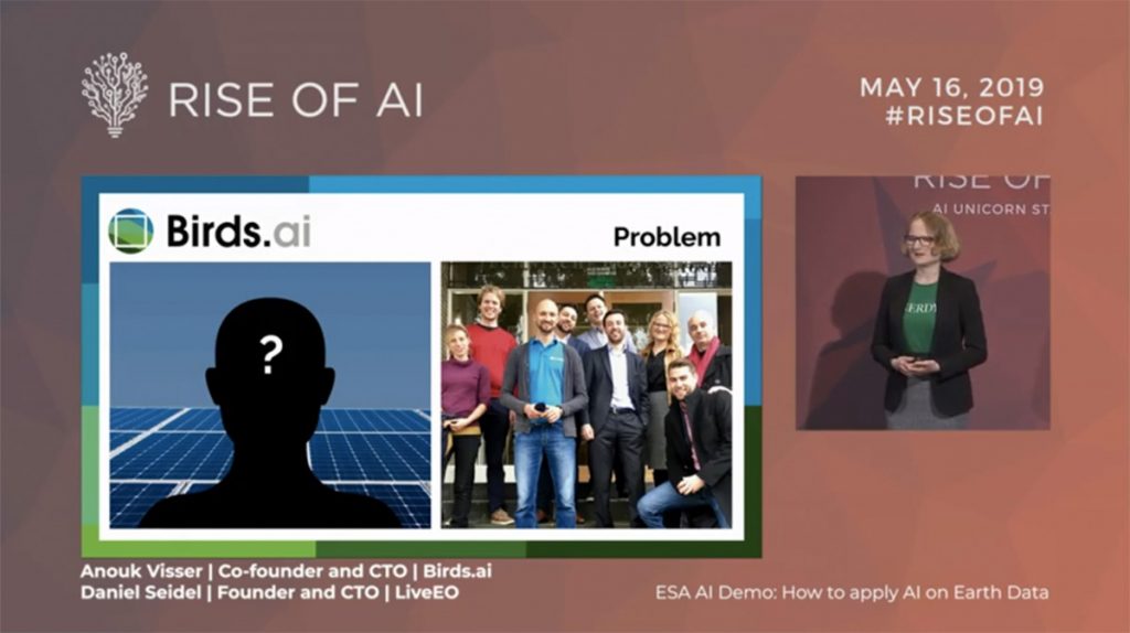
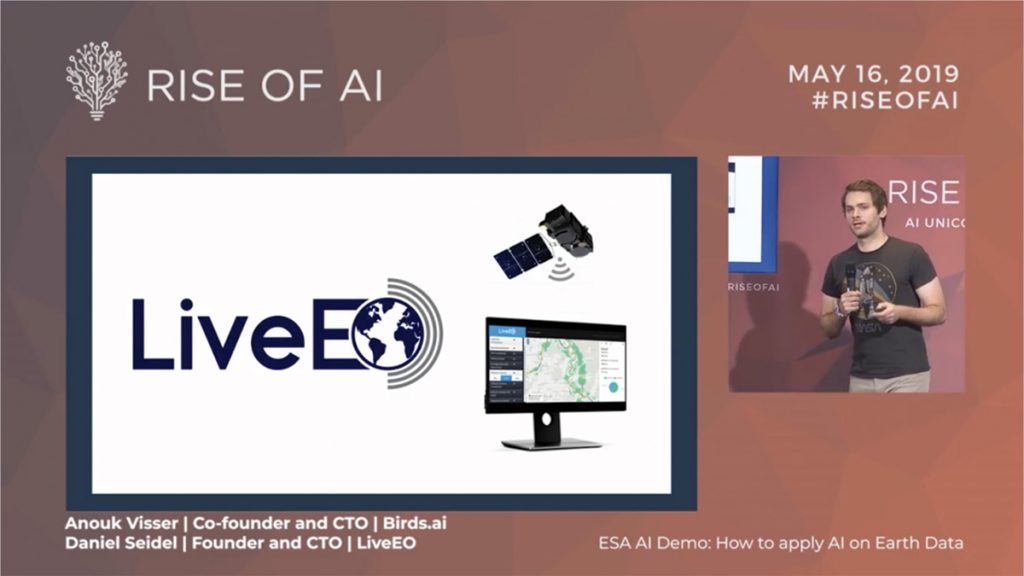
The Rise of AI event is one of the leading global conference for AI. In Berlin, 2019 Rise of AI hosted over 800 investors, CEOs, researchers, politicians, entrepreneurs and enterprises.
ESA participated with the AI demo: how to apply AI on Earth data. This demo, supported by the Φ-lab, focused on how to get insights out of satellite imagery with AI. The demo allowed selected AI start-ups seeking to exploit the opportunities brought by this disruptive domain, to present themselves through a set of talks.
LiveEO mastered the challenge of handling big data and showed how it is disrupting the utility sector. LiveEO uses satellite imagery to provide innovative infrastructure monitoring in the verticals railway, electricity and pipelines networks. It provides a solution which uses satellite data to identify risks to operations from vegetation, height changes and third party interaction along networks, enabling operators to work more efficiently.
Another startup, Bird.ai showed how they are giving customers insight into the degradation of their assets so they can proactively perform maintenance in order to keep them in top-condition. Their toolset contains artificial intelligence, machine learning, and predictive analytics. With this, Birds.ai creates intelligent analytical software for anomaly checks, functional statistics, and intelligent monitoring.
Start-up pitching at the Rise of AI (top) LiveEO, (bottom) Bird.ai. Credits: Rise of AI